Mapping Pet-Friendly Water Points in Madrid Using the City's Open Data API
In an effort to enhance urban pet care, I explored the Open Data API provided by the City of Madrid to identify water points available across the city for pets, especially for dogs and cats. By integrating this data, I created an interactive HTML map showcasing the exact locations of these water stations, helping pet owners easily locate the nearest spots where their pets can drink water.
Methodology:
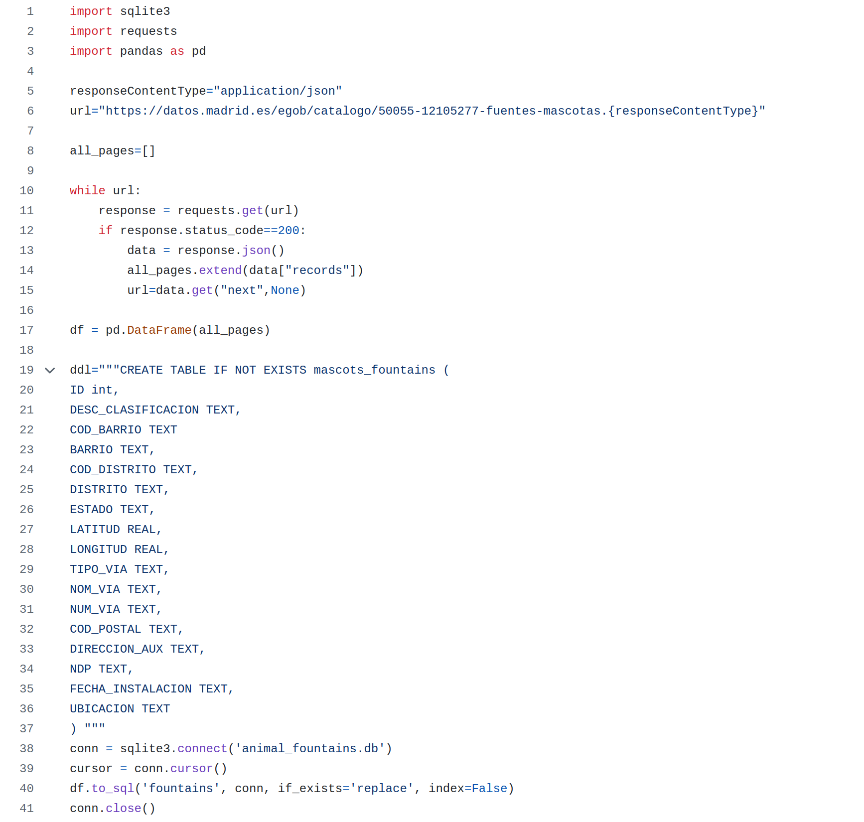
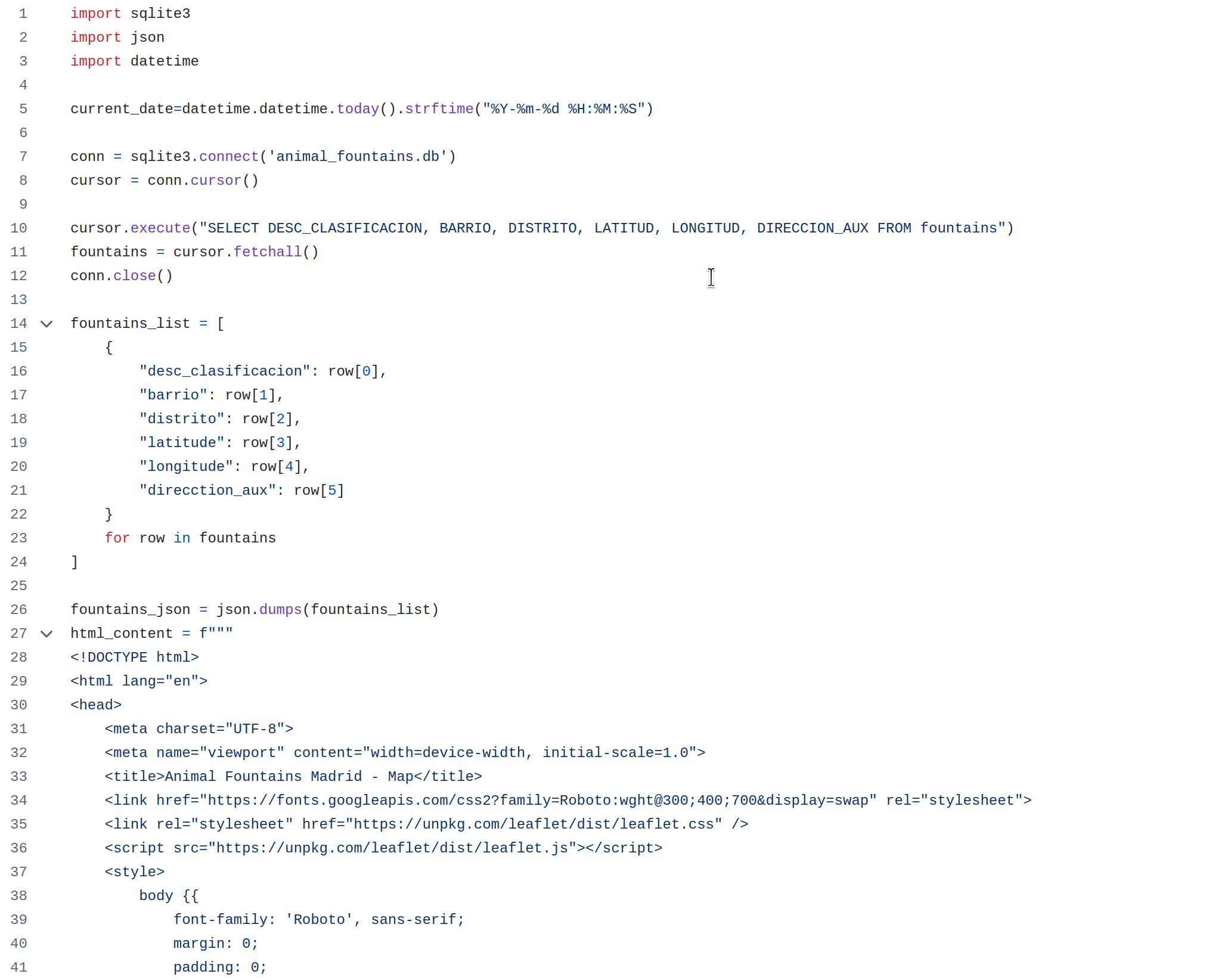
- I used Python to process and filter the data from the Open Data API. The dataset contains geographic coordinates of water points, which I visualized using HTML and JavaScript to create a dynamic map in HTML.
Requirements
To use this repo, you will need the following:
- Clone this repository to your local machine.
- Install the libraries: Sqlite, Pandas.
Code
To update the data from API and save it into the sqlite database:

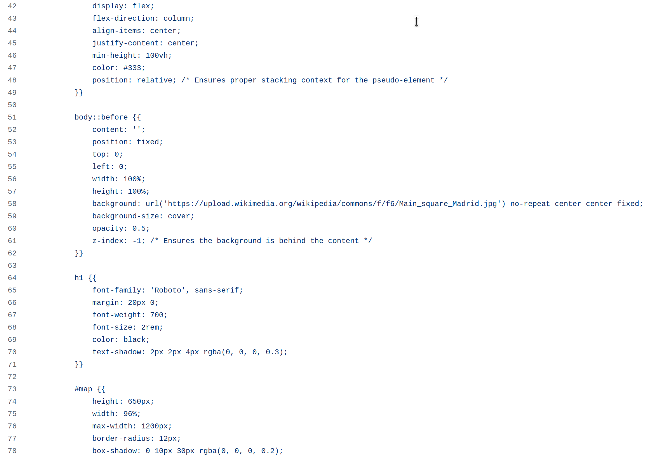
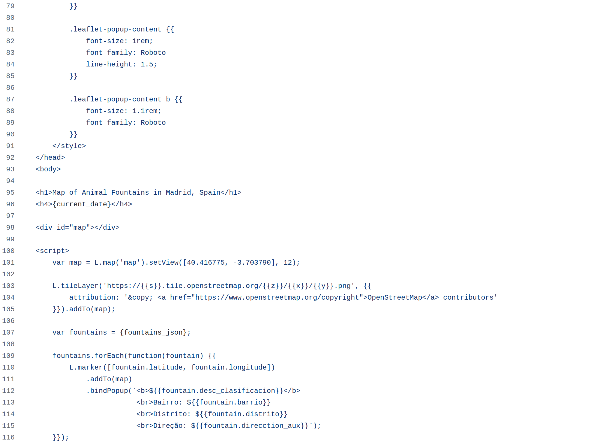
Report Generation Code


Result
HTML
Click here to view the map in a new tab
More
- GitHub Repo here.